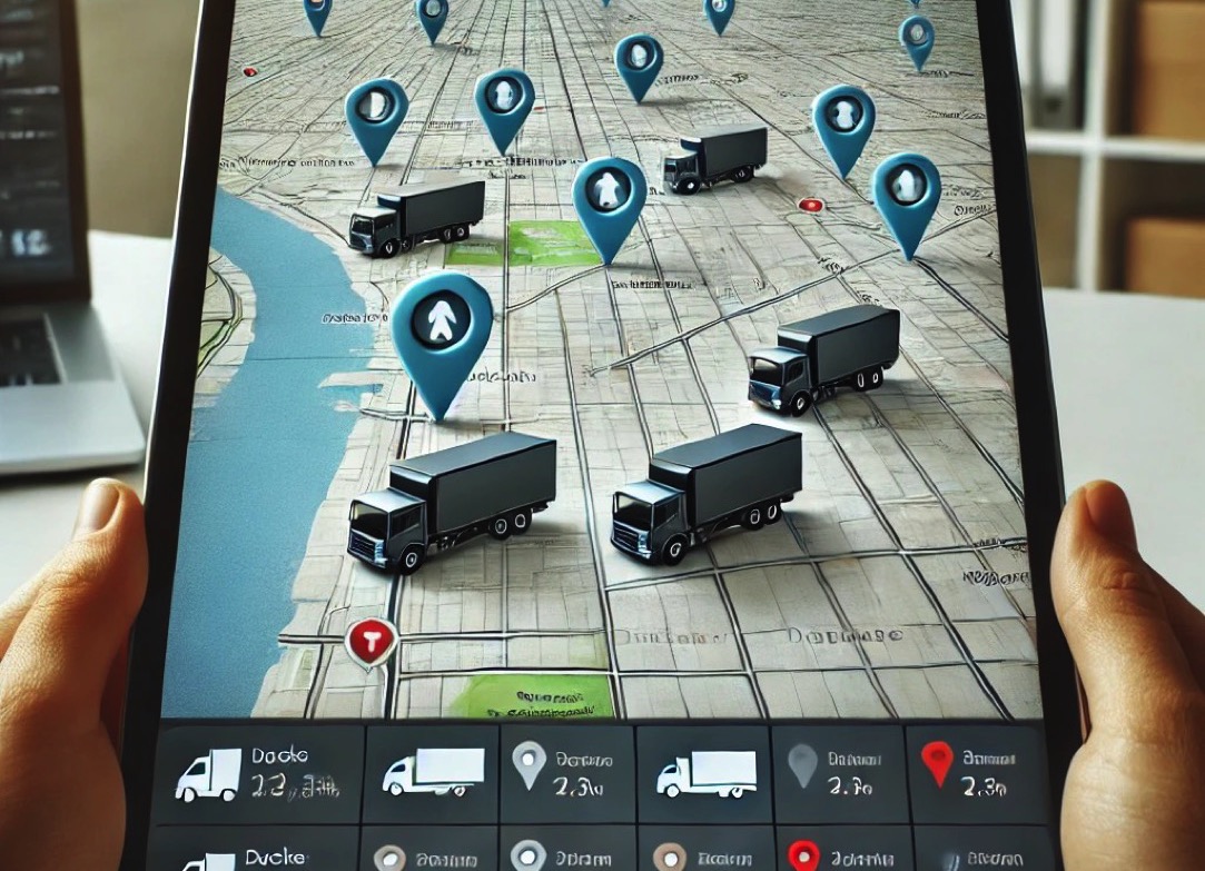
The customer required a solution to optimize driver routes so that they could deliver the maximum number of packages in the shortest time possible. The desired solution also needed to include driver location tracking on a map and enable dispatchers to assign delivery routes. The goal of the solution was to streamline this process.
We designed an application that collects GPS coordinates from iPads installed in each delivery vehicle. We developed the application in FileMaker and converted it into a native app using Xgode. The native app is integrated with OpenStreetMap, where the locations of individual drivers are displayed.
Dispatchers can assign routes, track the location of all vehicles in real time, and monitor the current progress of deliveries. For route planning, Graphhopper API was used to optimize delivery routes, minimizing the distance driven by the drivers and avoiding unnecessary backtracking.